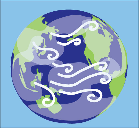
Strong El Niño weather patterns resulted in an even warmer and rainier winter for the Pacific Northwest this year. The term “El Niño” refers to a combination of global weather trends, including warmer ocean surface temperatures in the Pacific and weaker eastern trade winds along the equator. Although these patterns affect weather globally, they have varying effects in different regions. In Seattle, the main result of an El Niño winter is flooding. The warmer weather during El Niño years generally means less precipitation as snow and more as rain for the Pacific Northwest.
Meteorologists use several weather trends to determine El Niño conditions. The National Oceanic and Atmospheric Organization’s El Niño criteria include above-average sea surface temperatures persisting at least five consecutive and overlapping three-month periods and changes in precipitation and wind patterns.
El Niño and Southern Oscillation Probability graphs issued by the Climate Prediction Center, a branch of the National Weather Service, show that the likelihood of an El Niño rose from 0% to 10% from March to May 2023. By October to December 2023, the probability of an El Niño winter reached 63%.
According to the NOAA’s Climate Prediction Center, Pacific Ocean temperatures rose by 2.0 C (3.6 F) from November to January, far exceeding the threshold of an 0.5 C (0.9 F) increase required for El Niño conditions. An increase of 2.0 C has only been recorded six times before, earning this year’s El Niño the label of “super El Niño.”
Seattle and Tacoma broke daily rainfall records in early December, making this winter one of the rainiest on record. Seattle-Tacoma International Airport recorded 5.03 inches of rain in the first five days of December, the highest amount recorded since December 2007. Olympia, Bellingham and SeaTac also broke daily temperature records by 1 F, 6 F and 1 F respectively.
The Climate Prediction Center forecasted in early February that spring weather patterns would transition into a La Niña. This is not unprecedented, since La Niña conditions follow strong El Niño winters 60% of the time. La Niña weather patterns tend to be the opposite of El Niño patterns, with winter conditions in the Pacific Northwest becoming colder during La Niña years.
AP Environmental Science teacher Alicia Bower (she/her) said that since El Niño and La Niña are defined by trends in data, scientists often don’t know they’re happening until halfway through the year. However, she still believes that weather predictions allow people to look ahead.
“Being able to predict weather patterns gives city officials and governments a chance to prepare,” Bower said. “If you know that this is going to be a year where we potentially might face extreme flooding, you can prepare for some of these things, and maybe you can lessen the consequences if you go in more prepared.”
Warmer winter temperatures lead to a decrease in snowpack levels in the mountain ranges near the Puget Sound. Snowpack is compacted snow that does not melt for long periods of time. In the spring and summer, snowpack melts and becomes runoff for streams and lakes. The Department of Agriculture said that less runoff during the summer months leads to forests becoming drier and more fire-prone. The effects of this are often seen during August and September with Seattle’s orange sun.
Global warming can make the effects of El Niño weather patterns, and any climate event, more extreme. According to Seattle’s Office of Sustainability and Environment, one of Seattle’s main concerns as global warming worsens is flooding. However, it does not necessarily mean this weather event directly connects to climate change. Bower said that El Niño and La Niña weather patterns have occurred globally far before humans began noticing the impacts of climate change.
“It’s become very popular and trendy to connect all sorts of weather related events to climate change,” Bower said. “It’s a slippery slope. Yes, the climate is changing. It will keep changing so long as Earth is a planet.”
In addition to weather predictions and preparations, Bower said infrastructure can ensure people stay safe when natural disasters or extreme weather events strike. When Hurricane Katrina hit the Gulf Coast, for example, flooding devastated a large portion of the population living under sea level.
“If you are aware that your urban area has certain vulnerabilities, you can identify them, and if you know the flooding events are going to become more and more severe, you can take your government funds and invest them in those areas that need to be strengthened and addressed.”


